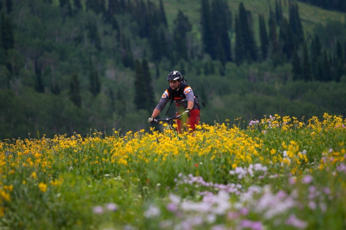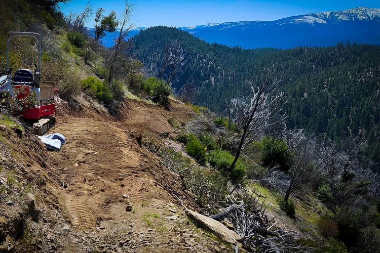
Bound by Montana to the north and Utah to the south, the Caribou-Targhee National Forest occupies over three million acres of land along the border of Idaho and Wyoming. The eastern border of Targhee lines one of the most beautiful mountain ranges in the world — the Tetons — which is actually best viewed by bike from the Targhee side. Rugged backcountry, lush valleys, raging rivers, and big game saturate the Targhee, and there’s no shortage of outdoor adventure on and beyond a mountain bike.
Fortunately, some of the best mountain biking trails in the millions of acres of Targhee are concentrated around the Teton Basin. Here, Victor and Driggs (Drictor), ID are equally equipped to serve as a hub for dining, lodging, and bike shopping. These are small towns historically occupied by ranchers and farmers, but over the last decade they have reared their heads and set their sites on recreational tourism as a viable option for growth.
Although the Teton Basin is host to enough trails to entertain a week’s worth of riding, it doesn’t lay claim to all the fun Caribou-Targhee has to offer. There are other great trails north and south of Teton Valley, from Pocatello to Island Park and beyond.
The Best Mountain Biking Trails in Targhee National Forest
Grand Targhee Bike Park

I’m not sure if it was the 15-foot rock drop, the old school downhill gnar, or the Rock Garden Trail whose entire length lives up to its name, but to say that the bike park at Grand Targhee Ski Resort is not for the faint of heart is an understatement. In fact, Grand Targhee terrain is so brutal, the base area bike shop won’t rent you anything less than a downhill bike. After lamenting their policy and renting a dual crown anyway, I completely agree! Grand Targhee was runner-up for the best bike park in the Northwest Region for the last three years in the MTBParks.com Riders’ Choice Awards. In 2013, Targhee was picked #1.
Mill Creek Trail

Whether it’s multiple breathtaking views of the Tetons, options on options within the Peaked Trails network, or a ripping-fast descent, there are as many reasons to ride Mill Creek as mountain bikers who frequent it every day. As long as you can get past the first gut-punching quarter mile, you’re good to go along the mellow ridge ascent that tops out after 1,100 feet of climbing. Where Mill Creek technically ends, the ride has only begun, as you come to the beginning of the Peaked Mountain Trails which ascend another 1,000+ feet. Shuttling Mill Creek is an option by leaving a vehicle at Grand Targhee Bike Park, with a gentle ascent to the Peaked Trails/Mill Creek junction.
Peaked Mountain Trails
Not long ago you would ride up Mill Creek to the boundary of Grand Targhee Resort, only to suffer a baby head-littered cat track to access the views atop Peaked Mountain, and then ride back down. With the addition of loads of singletrack trails between the top of Mill Creek and the resort’s base area, there’s no end to the combination of ups and downs you can pedal while enjoying the views from 9,830 feet.
From the resort, Andy’s Trail provides the shorter, direct route to the Peaked Trails while Action Jackson is the longer, more scenic way. Both are singletrack. From the junction of Andy’s and Action Jackson, continue climbing on the Buffalo Soldier Loop or descend Rocky Mountain Way, which feeds into Mill Creek. Either way, you don’t want to miss the ascent on 38 Special (probably named so after the number of switchbacks it has) and Peaked Trail. Other Peaked Mountain trails include: Ain’t Life Grand, Colter’s Escape, and Cold Springs.
Horseshoe Canyon

Teton Valley suffers from long, harsh winters, making many of the aforementioned trails unrideable until early- to mid-June. The lower elevation range of Targhee National Forest to the west of Teton Basin hosts the Horseshoe Loops — a network of XC trails — that are typically the first to dry out come spring. The Horseshoe trails have enough intersections to provide anywhere from a 20-minute to two-hour ride. Although XC in nature, the initial climbs (there are two unique options) are tough, making the exit descent fast and furious. Be sure to check in with Habitat, the local bike shop in Driggs, for the best route options, or join them on an evening shop ride.
The Canyon Creek Loop is another Horseshoe Canyon favorite featuring 100% singletrack through remote backcountry. The loop is preferred clockwise starting with a climb up South Fork Horseshoe (the south side of Horseshoe Canyon). A ripping descent down South Fork precedes a drainage climb back up on North Fork Canyon. From here, multiple options exist: descend South Fork Horseshoe to the car, descend Mahogany (both are fantastic downhills), descend the Long Ridge Trail for a sweeping view of the valley, or backtrack along South Fork to access the Big Hole Crest Trail. The Big Hole Crest is a big ride in and of itself, so be prepared!
Rick’s Basin and Base Area Trails

If you were looking to ride in the Targhee Resort five years ago, the only trails available were just north of the downhill ski area in Rick’s Basin. But even though bigger and better trails have come along, Rick’s Basin still holds as one of Targhee’s favorite rides. Beginning at the resort’s base area, signage directs you north, where you can create anywhere from a 30-minute to three-hour ride. Rick’s features climbs through beautiful aspen groves and open meadows before ripping fast, flowy singletrack. While a fine time during summer, what makes Rick’s truly unique for many is its transformation during winter into a groomed fat biking trail system.
Mail Cabin to Mike Harris
Starting at the Mike Harris Campground, borrow about six miles from the Highway 22 shoulder to access the Mail Cabin Creek Trail. The first two to three miles are gentle in grade, but the climb stiffens quickly as it approaches a spectacular ridge ride. Enjoy expansive views for the next three miles while on the ridge, which also has a slight grade in the downhill direction. Just before descending the steep finale into Mike Harris, an option to ride into Pole Canyon via the Mikesell Connector exists to the west. If you don’t take that option, enjoy the 1,800-foot descent with sustained double-digit grades to your car.
Big Hole Crest Trail

After reading Aaron Couch describe his (mis?)adventure along the Big Hole Crest, I talked myself out of adding it to this list. Then again, it’s this type of ride that, although it may not be what mountain bike dreams are made of, do make some of the best memories on a bike. Do yourself a favor and check out Aaron’s article — the pictures alone will beg for your personal presence.
“The beauty all around tore at me, tempting me to stop to take it all in: east across the valley the Tetons, south towards the Snake River Range, and west into the depths of the Big Holes. It’s only once you get back into these mountains do you realize the true meaning of their name.” -Aaron Couch
Grove Creek to Drake Creek

Located within the Big Hole Mountain Trails network is a fantastic double loop ride consisting of two steep descents preceded by equally-stiff climbs. The initial climb up Grove Creek tops out after 1,200 feet of climbing and crosses the epic Big Hole Crest Trail. Looking down-trail, you’ll see the final descent to your left, but don’t jump the gun just yet — you still have more riding to do. A short connector trail links to the Corral Creek Trail. From Corral, take a left on Red Creek, marking the first of two 1,000-foot descents.
Red Creek climbs 1,500 feet back to the connector trail and the Big Hole Crest Trail, where your first climb ended. It’s now payback time plus interest, as you prepare to descend Drake Creek — a 1,150-foot plummet over 1.6 miles with an average grade of 13%.
East Fork-Crestline
Pocatello, ID boasts a number of trails on the west side of town — most of which can be accessed from city limits — and two that fall within the Caribou-Targhee boundaries. The Crestline Trail offers high-altitude scenery from ledgy mountainside singletrack, descending the east side of Scout Mountain. The loop begins about a half-mile in from the northern-most parking area, climbing the East Fork Trail on the west side of the mountain. Crestline begins from the top of Scout Mountain, undulating as a ridge trail for a couple miles before dumping you down a four-mile descent, through forested trail both smooth and technical. Crestline can be looped in either direction but is much-preferred counterclockwise from the T intersection.
Slate Mountain/Gibson Jack Loop

While the Slate Mountain/Gibson Jack Loop proper is a solid ride in and of itself, over 10 miles can be added to the scenic, high-desert route in the form of outer loops branching off the main course. Starting from the Gibson Jack Trailhead, the Slate Mountain trail courses up and over a ridge before diving in and out of a multitude of ravines. At about mile 5.5, Slate Cut-Off dives down a 1-mile drainage, connecting your journey to the West Fork trail. It’s a bit of a choose-your-own-adventure from here, with outer loop options including Chimney Creek to Fenceline, Crystal Springs, West Fork to Elk Meadows, or stay on West Fork until you reach the final descent to your car on the Gibson Jack downhill. If you’re feeling extra epic, the Gibson Jack and Slate Mountain sections can be connected with a larger network of Pocatello-area trails to the north and the East Fork Crestline Loop to the south, respectively.
Best Tourist Activities in Targhee National Forest
Hiking/Backpacking

Like most national forests, there’s no shortage of hiking trails. I personally find hiking a bore unless I get to camp along the way, which is then called backpacking. I’ll spare you the list of a thousand hikes you can do in Targhee and suggest one epic overnighter by foot you should do. Starting at the Jenny Lake Trailhead in Grand Teton National Park, climb straight into the Teton range up Cascade Canyon. Spend a night on either side of the pass and descend the next day through some of the most rugged, beautiful alpine backcountry you’ve ever seen. The journey ends at the Teton Canyon Campground right next door to Grand Targhee Bike Park.
Disc Golf
Shed the shirt, let your hair down, and get your frolf on at Grand Targhee Resort’s frisbee golf course. The 18-hole course plays through rolling aspen meadows at 8,000 feet, where discs float further at high alpine elevation. I’m sure that’s not the only thing getting higher out on course.
Scenic Driving
You heard me! Grab some Dr. Pepper and a pack of Red Vines and give the legs a break during a relaxing drive up to Mesa Falls. The scenic byway to Mesa leads day trippers to the last unfettered waterfall in the West. Spectacular views in a forest setting set the perfect scene for a rest day.
Kayaking/Canoeing/SUPing
A paddle down the Teton River may be little more than a float, but you’re a mountain biker, remember? That said, after crossing under Highway 33 the river eventually enters a canyon with class IV and V whitewater.
Rent an inflatable kayak or stand-up paddleboard from Peaked Sports in Driggs and experience the views of Targhee National Forest from a different perspective. Throw in a fly rod if you have one, as I’ve heard the Teton River is quite a catch!
The Best Campgrounds in Targhee National Forest
Teton Canyon
With 20 single units capable of accommodating vehicles up to 20 feet, tables, fire rings/grills, vault toilets, and a potable water pump house, Teton Canyon is the most amenity-rich campground near biking. Teton Canyon Campground is located about 10 miles east of Driggs, ID and just a stone’s throw from the Mill Creek Trailhead and Grand Targhee Resort.
Buffalo Campground
Located 26 miles south of West Yellowstone in Island Park, ID, Buffalo Campground sits along the banks of the Buffalo River at an elevation of 6,200 feet. Find shade under the mix of pine and aspen while strolling through the abundance of summer wildflowers. The Buffalo River has brook and rainbow trout fishing, and wildlife can be frequently spotted throughout the area. Buffalo Campground has 117 single units, 4 double units, and 1 group site.
Mike Harris
Mike Harris is nestled in a forested area, and many of the 12 sites are shaded. Potable and drinking water, restrooms, and a washroom are on the premise. If you’re looking for some backcountry dirt surfing, check out the Mail Cabin to Mikesell Canyon Trail just minutes away from Mike Harris Camp.
Scout Mountain
Scout Mountain Campground is located on beautiful Scout Mountain at an elevation of 6,900 feet, just 13 miles south of Pocatello, ID. The campground sits high atop the Bannock Mountain Range in a scenic forest of Douglas fir, lodgepole pine, and aspen, offering partial shade. This would be a great place to hunker down when enjoying Targhee National Forest trails near Pocatello.
Best Bike Shops in Targhee National Forest
Habitat

With two locations — one at Grand Targhee Resort and the other in downtown Driggs, ID — the folks at Habitat have you covered for any and all bike-related needs. Bike park rentals are dealt from The Ghee while the in-town shop has such an impressive range of soft goods and hardware, you’re almost guaranteed to leave with a thinner wallet and fatter smile.
Fitzgerald’s

Although smaller in size and inventory, Fitzgerald’s in Victor, ID offers a friendly, hometown feel. They’ll froth you up a hot beverage while you browse and stoke your spokes with local advice about Teton Valley riding.
The riding in Caribou-Targhee National Forest is nothing short of amazing! Never mind the expansive views, well-maintained trails, and diversity of terrain, whenever I visit, it’s like I’m the only one! Despite recent press, this place still seems to be on the down-low. I’m sure local riders don’t mind the low key vibe, but we don’t mind spreading the stoke here on Singletracks. Sorry, not sorry!


0 Comments