It’s been another warm summer and fall, and another bad fire season in another popular mountain bike region. The Caldor Fire started on August 14th upending Tahoe area residents and has now burned over 221,000 acres and scorched some of the area’s most popular trails. Containment is almost full, at about 95%, according to InciWeb, but there is still a lot of work to do. The cause of the fire is still under investigation, says the US Forest Service.
Almost 800 structures have been destroyed and nearly 1,400 structures were still threatened as of October 1st. There are about 1,500 people battling the Caldor Fire still and the USFS expects full containment on October 16.
We spoke with Patrick Parsel, the Tahoe Area Mountain Biking Association (TAMBA) trails director, to get a better idea of the condition the trails are in post-burn and what the organization has cut out for them in terms of restoration.
When we spoke, the fire was mostly suppressed but still active in areas close by. Some businesses were reopening but many were still closed, according to Parsel, and some tourists and visitors were returning to Tahoe.
The Caldor Fire burned an area southwest of Lake Tahoe, scorching some of the most popular trails like Mr. Toad’s Wild Ride, the Corral Trails, the Armstrong Connector and Armstrong Pass, Sidewinder, and more.
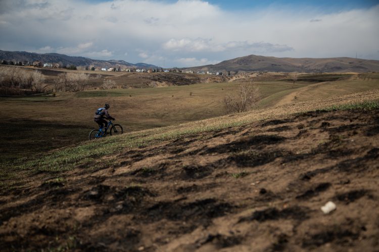
“All those got some burn damage, bridges destroyed,” says Parsel. “The high burn severity – a lot of soil just got really torched. A lot of vegetation is gone that was helping to support the trail tread.” TAMBA has only recently been able to survey some of the damage, but they estimate there are about 20 miles of trail with direct damage. More if unofficial and social trails are included.
Some of the trails are directly damaged from the burn, meaning it’s likely moisture and erosion will become a problem for the trails later on, and a lot of the trails have been damaged from bulldozer-created fire breaks. Parsel says that some of these fire breaks are miles long and 300 feet wide.
The fire lines will need to be stabilized before the winter comes so that the loose soil doesn’t wash away, and the US Forest Service Burned Area Emergency Response (BAER) team is assessing and stabilizing the area. A lot of the work has been tricky for the USFS since the area is still dangerous.
“Because so many trees are burned and just barely hanging on and could fall at any time.”
The real damage might happen next year depending on rainfall. TAMBA hopes that some of the trail improvements they’ve done in the past few years, like rock and tread armoring, will help the trails fend off some of the damage.
In the meantime, TAMBA is trying to communicate these dangers and closures to the public, which has been disregarding them in some cases.
“It’s frustrating, and it’s hard because you know, there are certain areas that are in the closure spots that are extremely dangerous where you would not want to go in the fire scar because all of the hazards that exist. And then there are other areas that are far from the fire impacted where there’s just dozer lines where it might just cross you know, 30 feet of trail, but all those trails are still closed.”
The closures are much more broad than TAMBA had suggested or had hoped and though some areas may be safe, the closures reflect as much area as the USFS may need to continue its operations.

The Caldor Fire closure is currently active until December 31 and includes anything in the fire scar and anything around that, though the Eldorado National Forest did announce that closures may be adjusted as the situation improves.
There’s also the Lake Tahoe Basin Management Unit (LTBMU) Backcountry Closure which is active until October 20.
As for rideable terrain, most of the trails around South Lake Tahoe are closed. TAMBA has been keeping track of the openings and closures on their page. Parsel says that a lot of the Tahoe Rim Trail hasn’t been severely affected except around Echo Summit, though a lot of the California side Tahoe Rim Trail is closed. The Tahoe Rim Trail Association also has a trail conditions page with info on all of the TRT sections.
Some of the better trails that are open are the Kingsbury Stinger, Van Sickle, the Chimney Beach trail, Tyrolean and other trails around Incline Village.
Parsel says that the community has been generous and is eager to help TAMBA rebuild the trails when they can.
“I will say we’ve received a huge outpouring of support from folks who want to come and help with the rebuild process once we finally get to that stage and we’re hoping to have some volunteer events coming up soon outside the fire scar to repair trails there that were damaged by dozers.”
For residents, many are also happy that the smoke is dying down.
“I think that one, people are just so grateful that they have homes to go to and so I think first and foremost that’s the biggest takeaway that I’ve seen from folks. And two, we had such a bad period of really terrible smoke. And now that we finally have some clear air, people are grateful to have clean air to recreate in.”


0 Comments